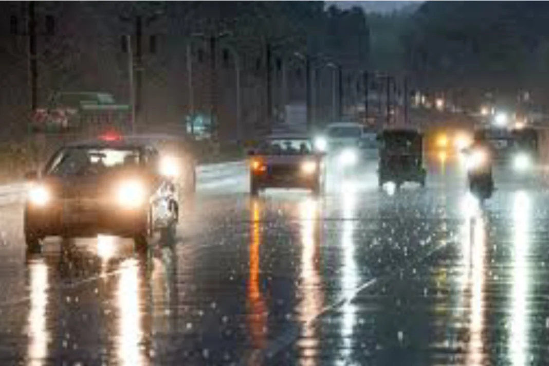
Weather Update: Northwest India is expected to be hit by a new Western Disturbance starting on December 30. Between December 30 and January 2, 2024, there is a chance of light, isolated rainfall over the Northwest and neighbouring Central India due to its influence and interaction with lower level easterly winds. In many parts of Punjab from December 27 to December 31; in some areas of Haryana, Chandigarh, Delhi, and Uttar Pradesh from December 27 to December 29; and over isolated pockets of north Rajasthan and north Madhya Pradesh on December 27, dense to very dense fog conditions are very likely to persist in the early hours or morning hours.
Dense fog conditions are expected to persist in isolated pockets over Odisha, Uttarakhand on December 27 and 28, over Haryana, Chandigarh, Delhi, and Uttar Pradesh on December 30 and 31, over Assam and Meghalaya, and over Nagaland, Manipur, Mizoram, and Tripura on December 27 and 31.
Know more about the weather forecast
Over Bangladesh and the surrounding area, the cyclonic circulation continues to exist between 1.5 and 3.1 km above mean sea level. With its axis at 5.8 km above mean sea level, the Western Disturbance in the middle tropospheric westerlies presently extends roughly along Long. 62°E to the north of Lat. 30°N. Over the next two days, there is a good chance of isolated pockets of shallow to moderate fog in the morning hours over Bihar and Gangetic West Bengal. For the next two to three days, most of the country’s minimum temperatures are probably not going to change significantly.
Weather Update: Temperature of some major cities
| Name of cities | Temperature |
| Bengaluru | 21.4°C |
| Chennai | 25.6°C |
| Hyderabad | 23.8°C |
| Kolkata | 21.6°C |
| Ahmedabad | 21.4°C |
| Pune | 19.8°C |
| Delhi | 12.4°C |
| Mumbai | 24.1°C |
Here are some apps you can download to check the weather forcast
The AccuWeather, 1Weather, Weather & Clock Widget, GO Weather, Weatherbug, Mausam, Weather Channel and YoWindow are the applications you can download to checkout the latest weather update of your locality. The Mausam is launched by IMD.
DON'T MISS
Keep watching our YouTube Channel ‘DNP INDIA’. Also, please subscribe and follow us on FACEBOOK, INSTAGRAM, and TWITTER


