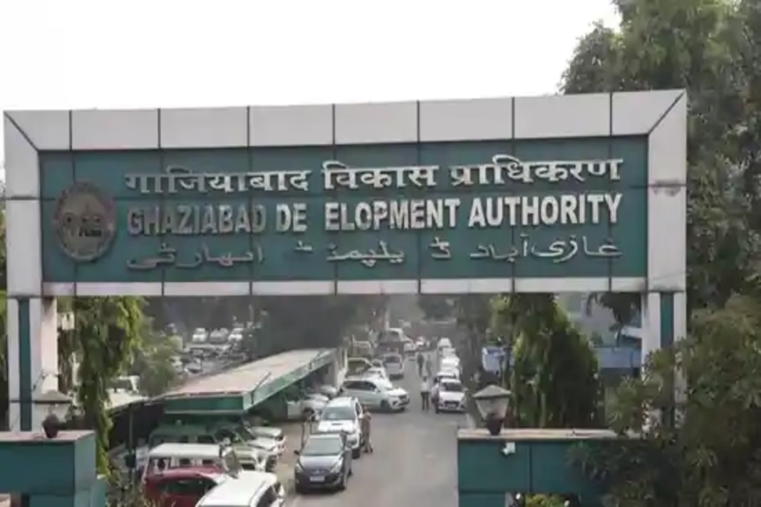
Ghaziabad News: Uttar Pradesh government has given its nod to the GIS-based Integrated Master Plan 2031 for Ghaziabad, Loni, and Modinagar/Muradnagar, officials of the Ghaziabad Development Authority (GDA) confirmed on Saturday. The plan aims to redefine urban growth in the region with a focus on vertical development, industrial clusters, townships, and transit-oriented zones (TODs), while expanding activities along major expressways.
Bigger Development Footprint
According to the GDA, the Master Plan 2031 covers 32,017.81 hectares, a 27.56% increase from the 25,099.46 hectares outlined in the previous 2021 plan. The new vision is designed to support a projected population of 6.47 million residents.
Under the new proposal:
DON'T MISS
- 12,869.32 hectares have been earmarked for residential activities.
- 744 hectares for commercial hubs.
- 3,531.15 hectares for industrial zones.
- 552.74 hectares for mixed land use.
- 6,032.44 hectares for recreational spaces.
- 4,120.95 hectares for transport-related infrastructure.
GDA Vice-Chairperson Atul Vats said the plan promotes mixed land use, vertical growth, and sustainable development practices.
Transit-Oriented Development (TOD) Zones
A major highlight of the plan is the introduction of TOD zones around the eight operational Namo Bharat RRTS stations in Ghaziabad and the Metro’s Blue and Red lines. Areas within 1.5 km of RRTS stations and 500 metres along Metro corridors will be developed with mixed-use provisions, encouraging residential, commercial, and industrial activities in close proximity.
A total of 4,261.43 hectares has been allocated as TOD influence zones for RRTS, while 636.61 hectares will fall under Metro corridor TODs.
Special Development Areas (SDAs)
Two SDAs have also been included in the plan:
- 510.56 hectares in Guldhar.
- 549.5 hectares in Duhai.
These will allow higher floor area ratios (FAR), supporting more vertical expansion and flexible land use.
Next Steps
Officials stated that the number of city zones has been expanded from 8 to 15, and zonal plans will be prepared soon. A Request-for-Proposal (RFP) process will begin within two weeks, while the NCR Transport Corporation is already working on a dedicated TOD plan linked to the RRTS project.


