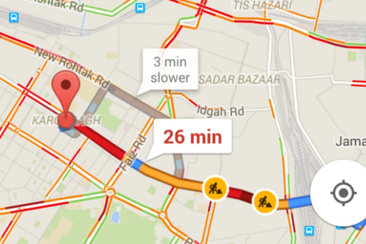
Google Maps: Google Maps can advise you which routes are best to avoid at all costs and which ones can get you to work a few minutes early before you leave the house in the morning. Even if you choose a route that is particularly busy, Google Maps can inform you how long you should expect to be delayed. In this article, we will tell you how Google detects traffic and tells you which route to avoid.
DON'T MISS
How does Google Maps detect traffic?
Google used traffic sensors and cameras to gather data until the late 2000s. Both public and commercial transportation agencies installed these devices on public highways.
Google now uses your data to determine a great deal of its traffic. Assuming you use Google Maps on your phone with the approved location permission. To be more precise, without giving Google this information, turn-by-turn navigation is not possible.
An additional component of Google’s algorithm includes historical data. It can calculate how long it typically takes for traffic to move along a given route on particular days and at particular times.
What do the colours in Maps mean?
Google Maps uses the colours green, orange, and red to depict traffic congestion.
- Green: No delays have occurred and traffic is moving smoothly.
- Orange: Some mild traffic and delays might occur.
- Red: A delay in traffic. Transportation moves more slowly the darker the red.
Keep watching our YouTube Channel ‘DNP INDIA’. Also, please subscribe and follow us on FACEBOOK, INSTAGRAM, and TWITTER
